
Autonomous Drone Inspection System
Dock Version
The Autonomous Drone Inspection System (Dock Version) is an intelligent aerial monitoring solution designed for precision agriculture. Integrating an industrial drone, smart docking station, high-resolution RGB camera, AI image analytics, and a cloud-based management platform, the system performs fully automated takeoff, landing, charging, scheduled inspections, and data analysis. It enables continuous crop monitoring and provides actionable insights into crop growth, emergence, lodging, and yield potential for data-driven farm management.
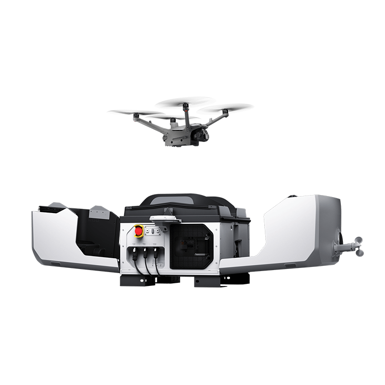
- Fully Autonomous Flight Operations
Enable fully automated takeoff, landing, charging, and scheduled inspection missions through the intelligent drone dock. - AI Crop Inspection
Automatically analyze crop growth, emergence, growth stage, lodging, canopy coverage, crop type, and yield potential. - High-Resolution Aerial Imaging
Capture high-resolution aerial imagery for efficient monitoring of large agricultural areas. - Mission Planning & Scheduling
Create, schedule, and execute inspection missions with automatic logging and remote management. - Cloud-Based Farm Management
Automatically synchronize flight data to the cloud for visualization, comparison, and long-term analytics. - Digital Field Management
Manage farm boundaries, field attributes, crop records, and agricultural operations through GIS mapping. - 24/7 Smart Monitoring
Support routine inspections for continuous monitoring and early warning of crop issues.
- Crop Growth Monitoring
Evaluate crop vigor, canopy development, and growth dynamics. - Missing Plant Detection
Automatically identify missing plants and stand establishment issues. - Growth Stage Identification
Recognize crop growth stages throughout the production cycle. - Lodging Detection
Detect crop lodging and evaluate affected areas. - Crop Classification
Identify crop species to support crop-specific analytics. - Canopy Coverage Analysis
Measure canopy coverage for crop growth assessment. - AI Yield Estimation
Estimate crop yield using AI growth models and historical datasets.
| Component | Parameter | Specification |
|---|---|---|
| 1. Aircraft | Max Horizontal Flight Speed | 21 m/s |
| Max Wind Resistance | 12 m/s | |
| Max Flight Time | >40 minutes | |
| Real-Time Image Transmission Quality | Remote controller: 1080p/30fps | |
| Operating Temperature Range | -10°C to 40°C | |
| Perception System | Omnidirectional binocular vision system, supplemented by an infrared sensor at the bottom of the aircraft | |
| RTK Module Accuracy | Horizontal: 1 cm + 1 ppm; Vertical: 1.5 cm + 1 ppm | |
| Gimbal Stabilization System | 3-axis mechanical gimbal (tilt, roll, pan) | |
| 2. Smart Dock | Product Dimensions (Deployed) | 1890mm × 800mm × 640mm |
| Rated Power | 2200 W | |
| UPS Battery Life | ≥1 hour |